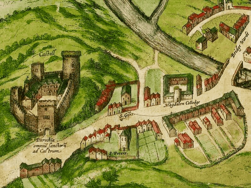
The River Crossing


Cambridge is named after the bridge over the river Cam.
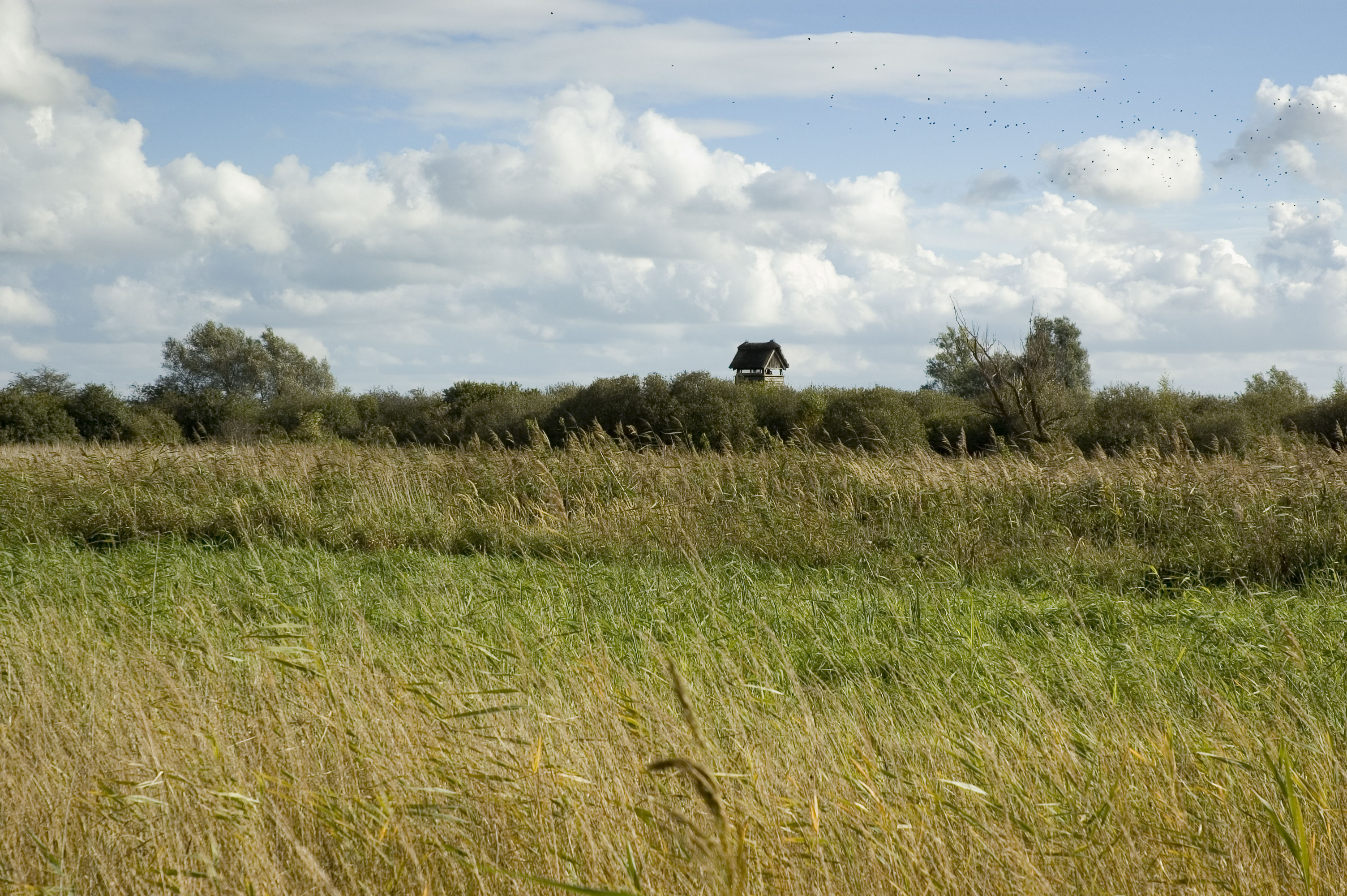
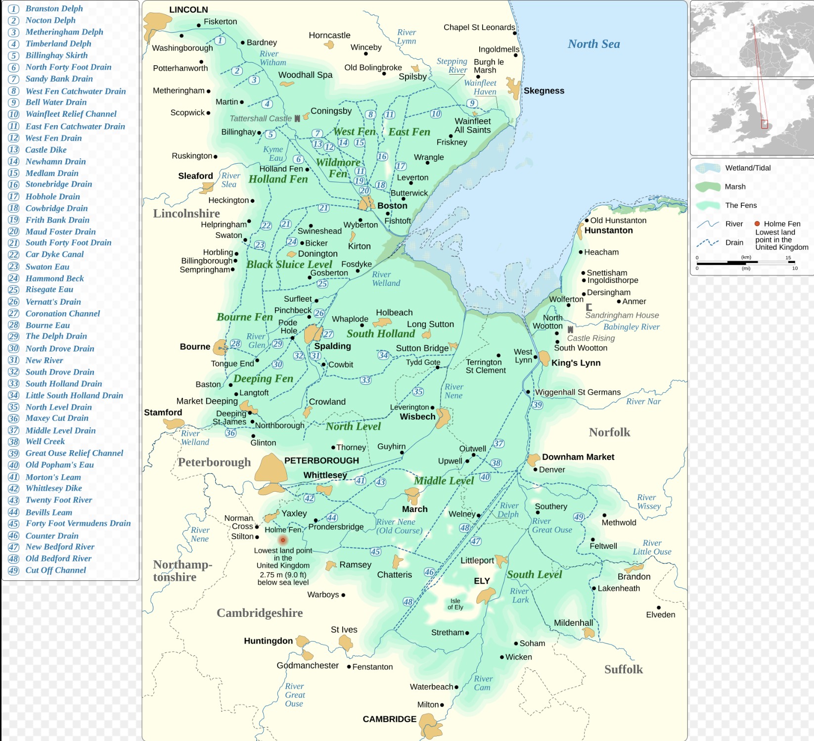
The area around Cambridge was very wet - north of it are the Fens, a wetland of some 1,500 square miles, lying barely above sea level - and which for centuries was left undrained.
The river was crossable here, and the hill on the north bank was the first ground for miles where it was possible to build above the flood line.
The earliest settlement dates back to the Bronze Age - a farmstead found under Fitzwilliam College, dating from around 3,500 years ago.
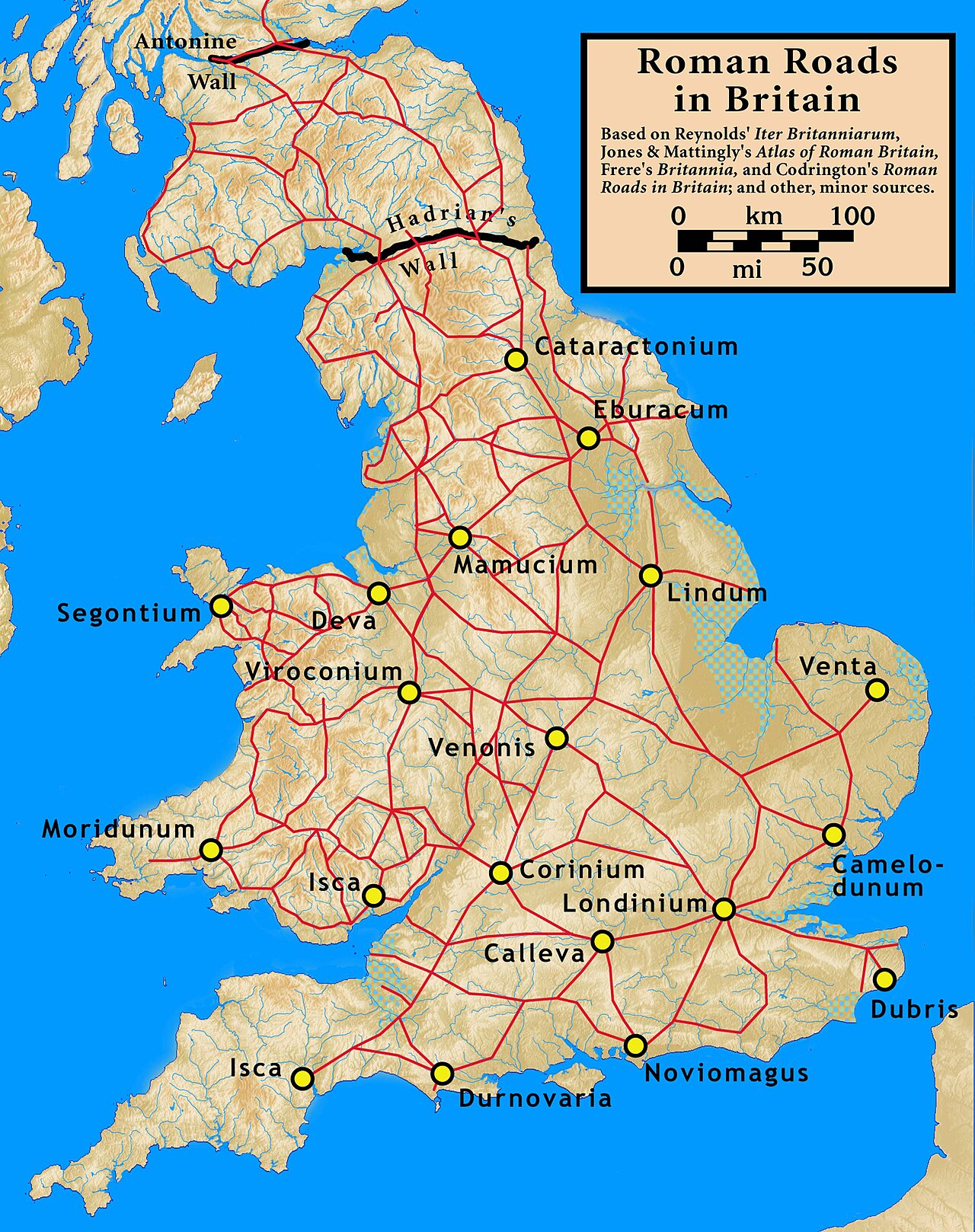
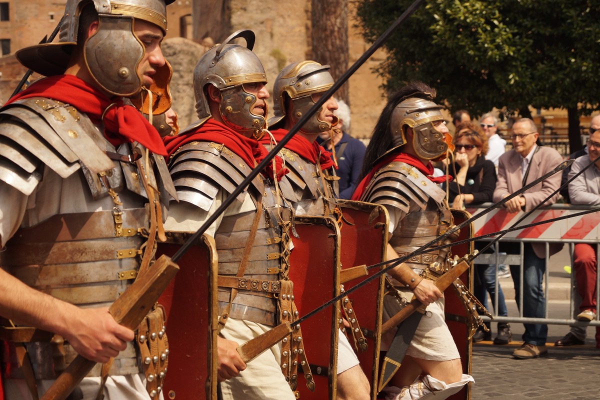
When the Romans invaded Britain in 43 AD, they built a fort on the hill, to protect the crossing on the Roman road running north-west across the country, from Colchester to Chester.
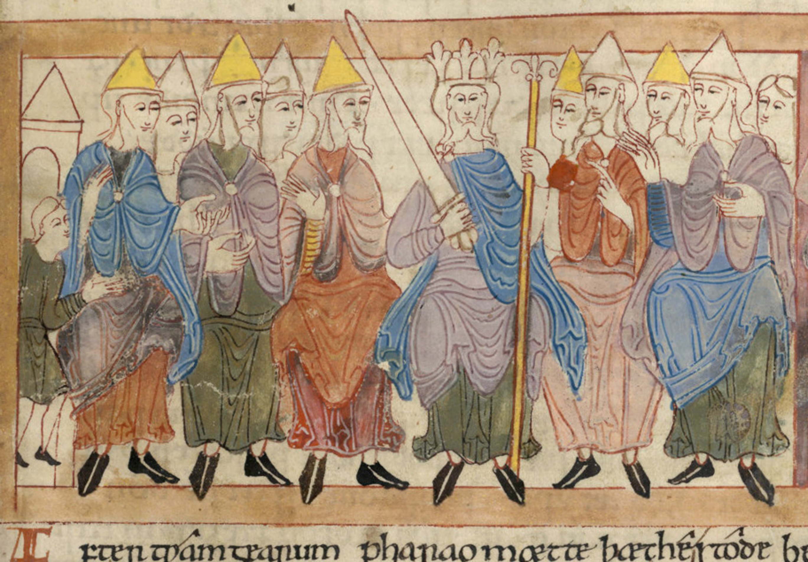
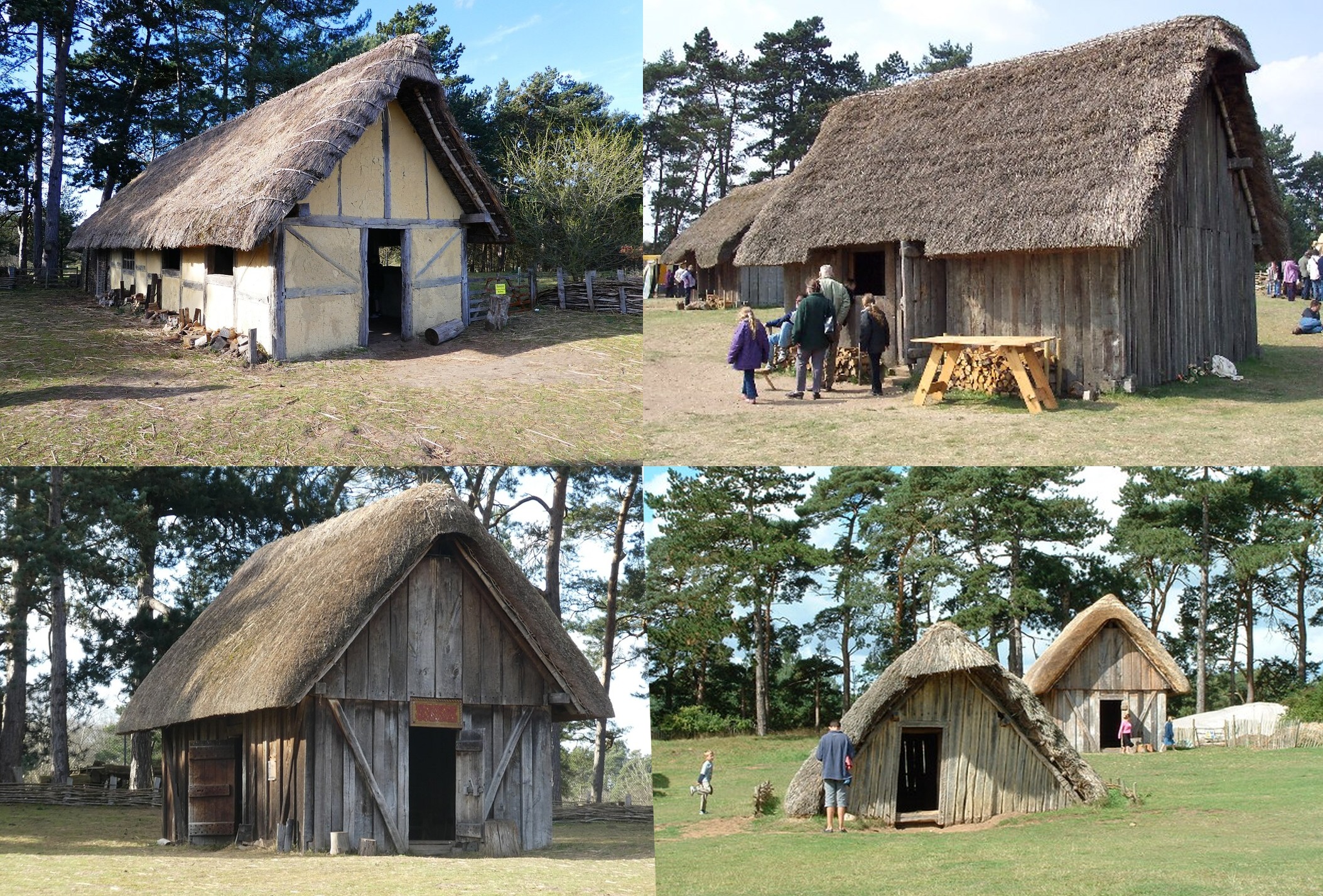
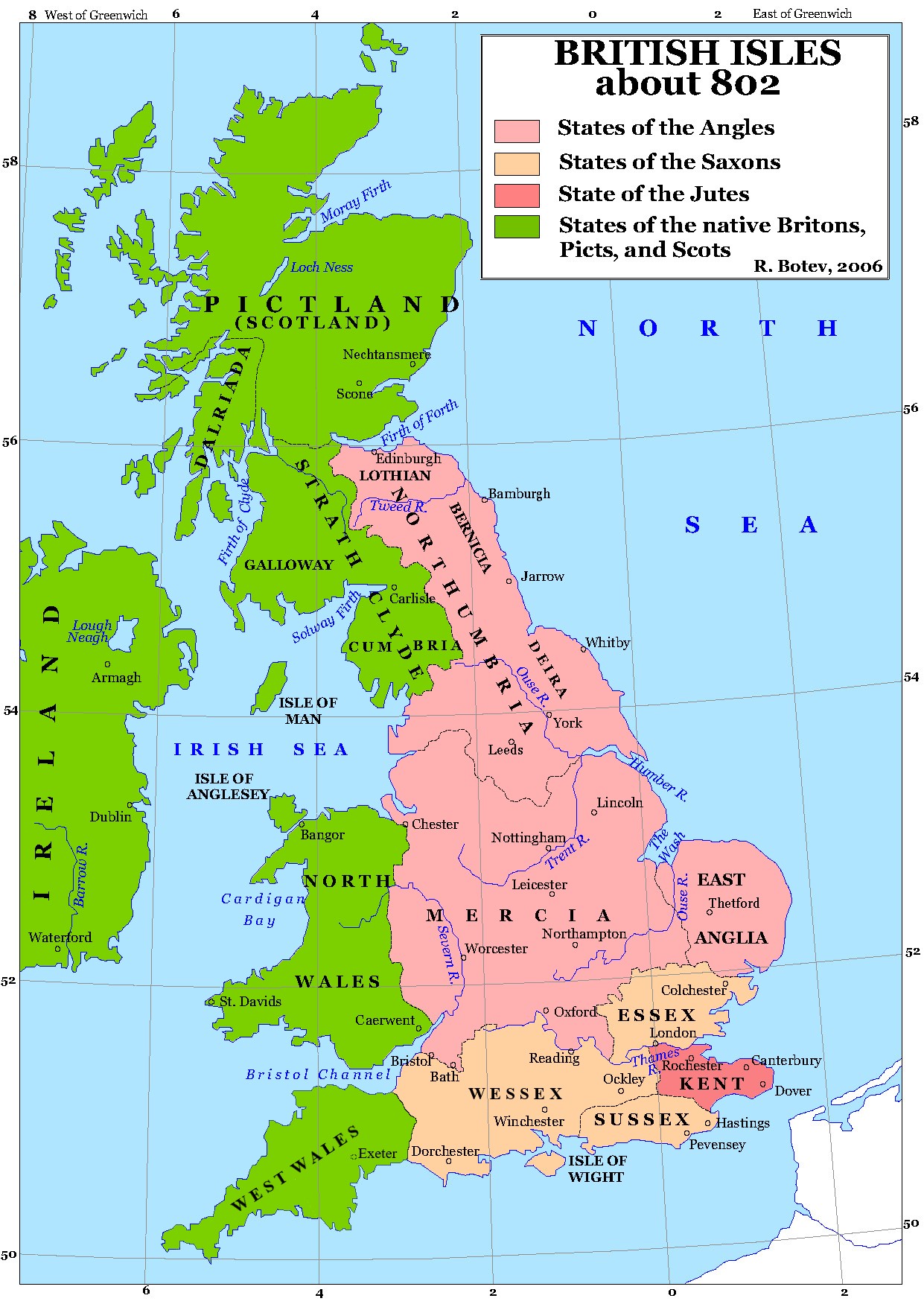
The Anglo-Saxons then gave it the name Grantabrycge, the bridge over the river Granta, which over the centuries transformed into Cam-bridge.
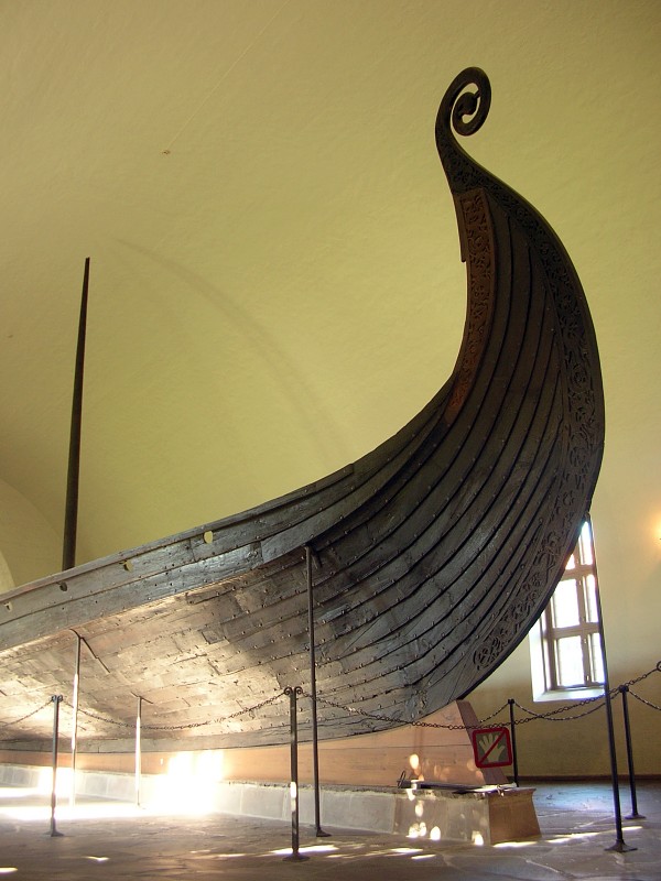
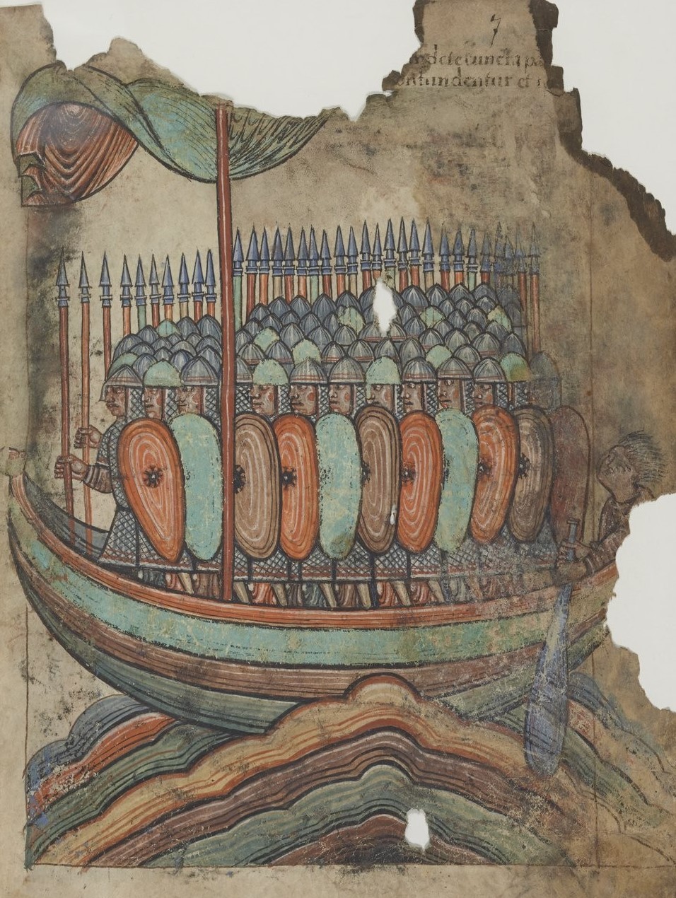
In the 9th century, the town was taken over by the Vikings, who imposed their own law, the Danelaw - and then retaken by the Anglo-Saxons, before the Normans arrived 2 years after the Battle of Hastings, in 1068.
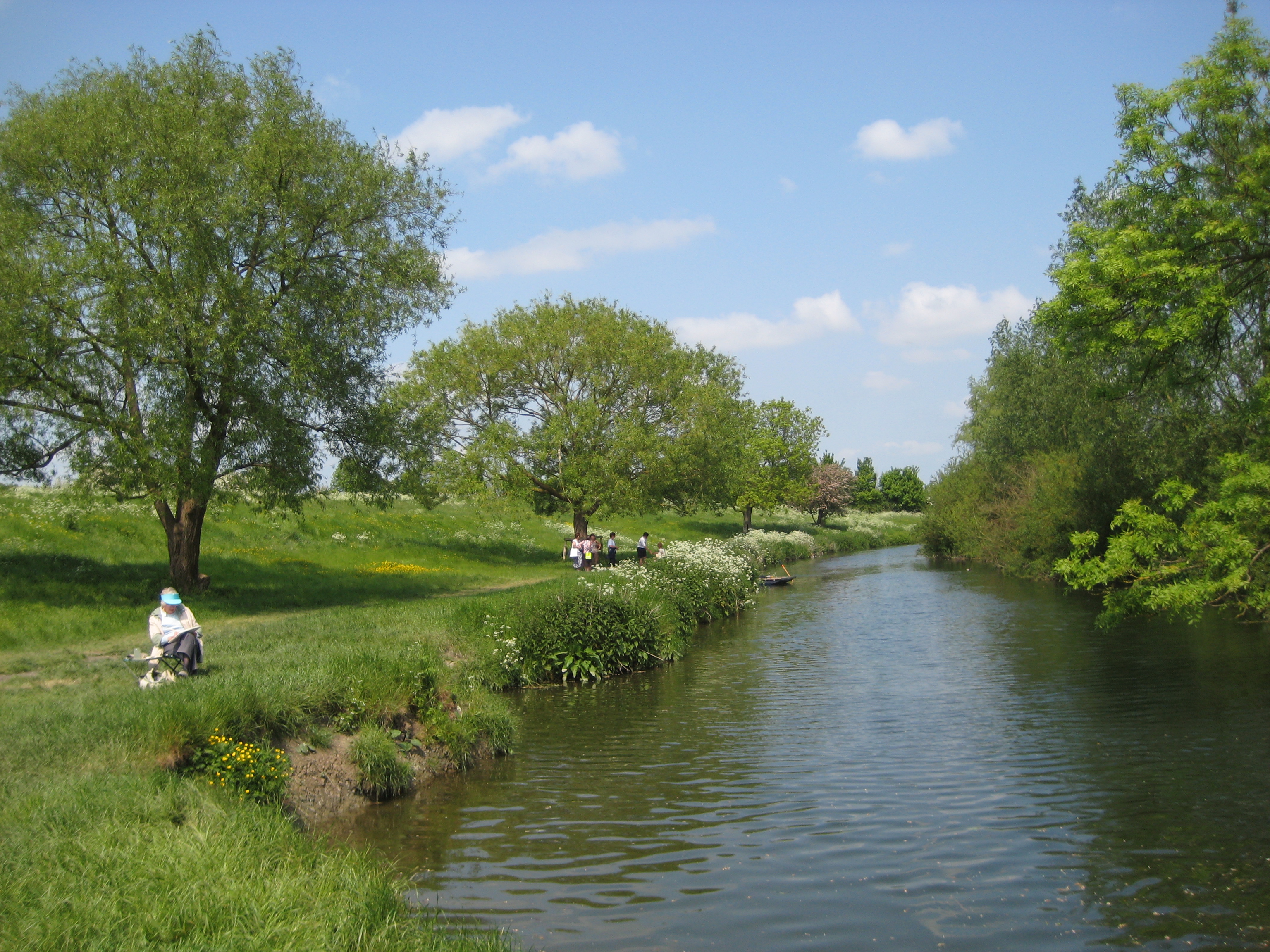
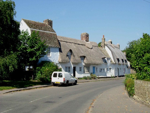
The bridge over the river Cam was thus key to Cambridge's early rise and development.
Fun fact : the river is still sometimes called the Granta in places, and the name survives in names like the Granta pub or the village of Grantchester.
🕐 On your way to the next stop
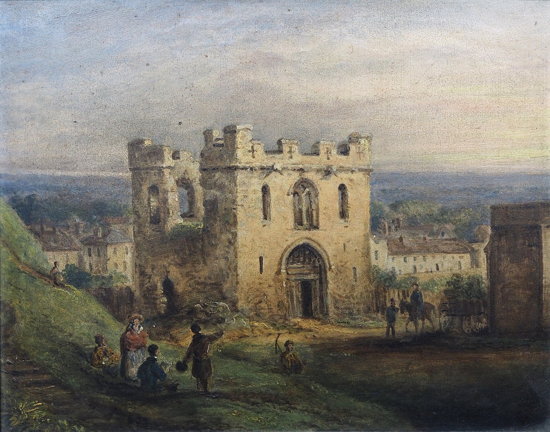
A quick note before you set off : the stops that follow are ordered by date rather than by geography, and 2 of the later ones are well out of the centre. If you would rather walk a straight line, take the first 12 in order and treat the last few as places to visit another time. Our next stop is Cambridge Castle, 2 minutes up Castle Street.
Comments
Loading comments...